- The UN’s 2026 campaign asks communities to learn and practise local evacuation routes.
- Strong or long shaking, unusual sea behaviour or a loud ocean roar can be natural warnings in a coastal hazard zone.
- After a tsunami warning, local officials determine when it is safe to return.
Inside this story 2 perspectives
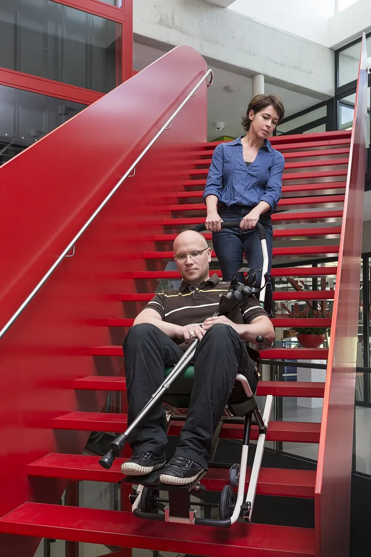
A line on a tsunami evacuation map can appear straightforward until somebody tries to follow it. A turn may be hard to find from the beach. A path that works for an adult walking alone may be difficult for a group of children or someone who uses a mobility aid. World Tsunami Awareness Day on 5 November puts those practical questions at the centre of its 2026 campaign. The UN Office for Disaster Risk Reduction is asking people to learn local routes and communities to practise them together.
The starting point is an official local hazard map or evacuation plan. It establishes whether the places where a person lives, studies, works or visits are in an evacuation zone and identifies where to go. A route from home and one from a favourite stretch of coast may lead in different directions. Practising from more than one familiar place can expose assumptions that remain invisible when everybody starts the drill at the same door.
Recognising a warning without a phone
The US National Weather Service describes both official alerts and natural warnings. In a low-lying coastal or tsunami hazard area, strong or long shaking, a sudden unusual change in the sea, or a loud ocean roar may indicate a tsunami. A person may receive only one kind of warning. After earthquake shaking, move as soon as you can do so safely. Following natural warning signs, evacuate promptly to the designated safe place, high ground or inland without waiting for an official alert.
A drill gives people a chance to practise recognising the route without the pressure of a real event. Somebody who knows a shortcut may discover that it cannot accommodate a wheelchair. A visitor who recognises a beach name may not know the neighbourhood name on a sign. Those are useful findings to take to the local emergency management team, which can advise on designated alternatives and accessible arrangements.
The walk back also needs a rule
Getting to a safe place is only part of the plan. A tsunami can bring a series of waves and dangerous coastal currents. The first wave may be neither the last nor the largest. People should stay out of the hazard zone until local officials say it is safe to return. A quieter-looking shoreline is not an all-clear.
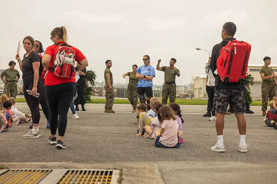
For a household or a school, a practical end to a rehearsal is a conversation at the destination. Did everyone understand where they were going? Was any part of the route unusable? How would people reconnect if they started in different places? Answering those questions now makes a locally approved plan something people can recognise and follow when time matters.