- San Antonio held its eleventh World Heritage Festival from 9 to 13 September.
- The Espada Aqueduct carries irrigation water over Six Mile Creek on its route toward Mission Espada.
- The National Park Service dates the surviving masonry structure to between 1740 and 1745.
Inside this story 2 perspectives
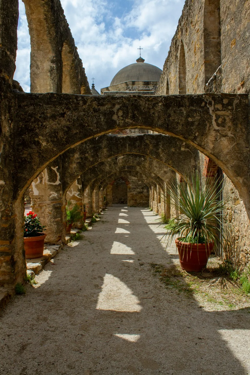
A stone structure just north of Mission Espada in San Antonio offers an unusual sight. Water moves along a channel on top of two arches while a different stream passes underneath. Both are perfectly ordinary flows of water, but only the upper one is travelling toward fields on a route chosen by people.
The city’s eleventh World Heritage Festival ended on Sunday after five days of programmes celebrating the San Antonio Missions. A 12 September ride invited cyclists to stop at one or more missions, and the wider programme included walking, running and National Park Service events. For anyone coming after the festival, the Espada Aqueduct offers another way to understand what the World Heritage designation covers. A church facade is only one part of the landscape.
A crossing that keeps water on course
The missions needed a dependable way to water agricultural land. Much of the solution consisted of acequias, channels dug into the earth to guide water across the terrain. The simplest route for water flowing in a ditch cannot always accommodate the next feature in the landscape. At Six Mile Creek, the irrigation channel needed to cross another watercourse while preserving its own path and level.
The National Park Service dates the Espada Aqueduct to between 1740 and 1745. A central support and two masonry arches span the creek. Water travels in a channel on top and returns to an earthen ditch on the other side, continuing toward Mission Espada and its fields. Before the stone crossing was finished, the park service says, hollowed-out logs were probably used to carry the water across.
Standing at the crossing, it is worth following the upper channel with the eye before looking down. What appears at first to be simply a small bridge resolves into part of a system several places depend on. Moving the water was the purpose of the structure rather than an incidental feature beneath it.
What survives the festival calendar
The city established the annual gathering with local partners to mark the missions’ World Heritage status. The 2026 programme fell eleven years after designation. Its routes encouraged visitors to move between sites, a reminder that farming, water management, settlement, religious life and the lives of Indigenous communities cannot be understood entirely through isolated buildings.
A visitor can carry that idea into a quieter day without trying to recreate the organised ride. Begin with a feature that connects places, then work out what lay upstream and what people needed downstream. At Espada the two streams provide their own orientation. The one that runs beneath the arches follows the creek bed. The one above still explains why people went to such effort to build across it.