- A tunable laser cycles through 256 wavelengths to direct measurements across a strip of terrain.
- A prototype collected data from a NASA B200 King Air in November 2024.
- The team plans a wider swath and onboard processing before a space-ready prototype.
Inside this story 2 perspectives
A laser can give Earth scientists a precise height for a tree or a patch of ground. Aim it along a narrow track from orbit, however, and accuracy along that line tells you little about all the trees and patches of ground that lie between one track and the next. NASA described a prototype on 21 October that tackles the gaps by steering the beam with its wavelength. Its name is CASALS, and its first working survey platform was an aircraft.
Lidar instruments send out light and time the returning signal. Reflections from the upper part of a forest can arrive before those from the ground underneath it. The difference helps describe the structure of the vegetation. To turn a series of such measurements into a map of a whole strip, an instrument has to point somewhere new very quickly. One familiar solution is a moving mirror. The Goddard Space Flight Center team has arranged for the light to change direction without one.
A different wavelength gets a different angle
The transmitter rapidly cycles a pulsed laser through 256 wavelengths centred near 1,040 nanometres. The light passes through a transmission grating, an optical component marked with microscopic ridges. A grating sends different wavelengths off at different angles. Changing the wavelength therefore changes where the next pulse lands. Taken together, successive returns build a three-dimensional strip across the surface below.
That is a more consequential change than filling a gap with an estimate. Imagine two surveyed tracks crossing a forest with a clearing between them. A model might make a plausible guess about what lies between the tracks. A continuous strip gives the instrument the chance to measure the clearing. For someone studying canopy structure or a change in terrain, the difference is knowing which part of the map came directly from returned light.
Airborne first, orbital later
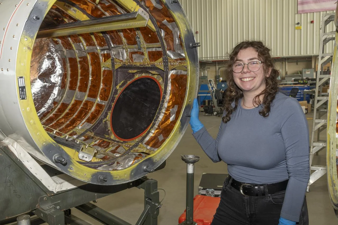
An airborne prototype flew on a NASA B200 King Air in November 2024. According to the team, it returned data suitable for scientific use on that campaign. The flight gave the researchers something difficult to obtain from a laboratory setup alone. They could examine how the whole measurement system performed over actual terrain while the platform was moving.
NASA says the team intends to widen the strip covered and add onboard processing before developing a prototype ready for space. It is also looking towards another airborne campaign in 2027. An orbital instrument has to manage mass, power and reliability under conditions very different from those on a research flight. Removing a heavy moving mirror helps with that engineering problem. The mapping idea remains easy to state. Let a new wavelength point the next pulse somewhere new, and a sequence of precise measurements can become a surface instead of a set of isolated lines.